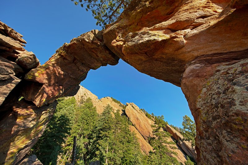
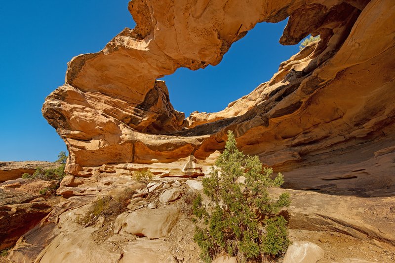
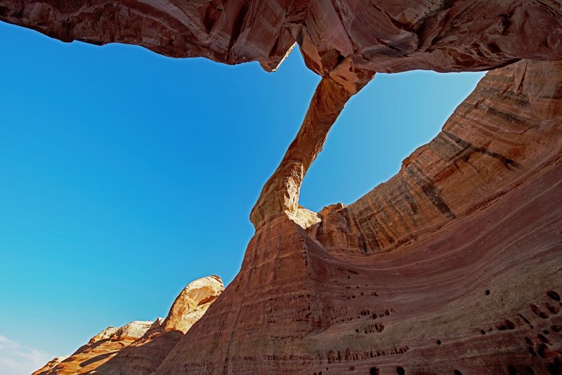
Centennial Arch (12S-686036-4335008, 120’x65’), Rattlesnake Canyon, McInnis Canyons National Conservation Area, CO
Rattlesnake Canyon is thought to house 35 natural arches, second only to Arches National Park for the largest concentration of natural arches in the world. This is one of those places where the arches are fairly easy to walk to once you get there. Getting there is never easy and sometimes not possible. The 13-mile drive on Black Ridge Access Road just west of the Colorado National Monument requires high clearance and 4WD, and in good weather it takes about an hour. If it is raining or recently rained, the road is usually not passable.
There are two roads that parallel the southern boundary that are seasonally open to motorized travel. The Upper Road is open from April 15 - August 15, while the Lower Road is open from August 16 - February 15. Both roads are closed to motorized travel from February 15 - April 15. From Fruita it’s 11 miles from the Monument entrance station to the turn to "Glade Park Store," then .2 miles to the parking area and the start of the access road. You can also get to Rattlesnake Canyon from the Pollock Bench trial, but it’s a strenuous 15.5 miles out-and-back hike if you continue to the lower arches trail.
We met Dave Kennedy at the parking area at 6 a.m. and, knowing the road, he volunteered to drive. As predicted, we reached the trailhead at about 7 a.m. and descended into the canyon. The descent from the top of the mesa to the bench below is steep and rocky, but once you reach the lower arches trailhead, it is an easy walk. In the early morning, most of the arches are shaded, but in the summer, the afternoon temperatures reach 100 degrees, so there’s no ideal time to visit. Spring and fall are better options, but it is spectacular at any time.
The Colorado Plateau
We moved to the Tucson, AZ beginning in 2017. It was a process that included a few cross country drives and liberally defining the USPS Media Mail Service policies. We had a wish list, spent months visiting different possible retirement locations and Tucson won. It took 18 months to find the house we wanted and another 18 months to get our house in Coconut Grove on the market and sold after a visit from Hurricane Irma.
Now, it’s a two-minute walk from our front door to Saguaro National Park, a half-day drive to the southern edge of the Colorado Plateau and an easy day’s drive to the parklands of southern Utah. Living in Coconut Grove, a good day's drive got us to Pensacola or Savannah and all we saw along the way were interstate rest stops. After a day of boring driving, we were still nowhere. Every night for the ten years we lived in the Grove, I took Kodi, our Rottie, out for a walk and looked up at a sky with no stars. I always knew that I would never again live in a place without stars.
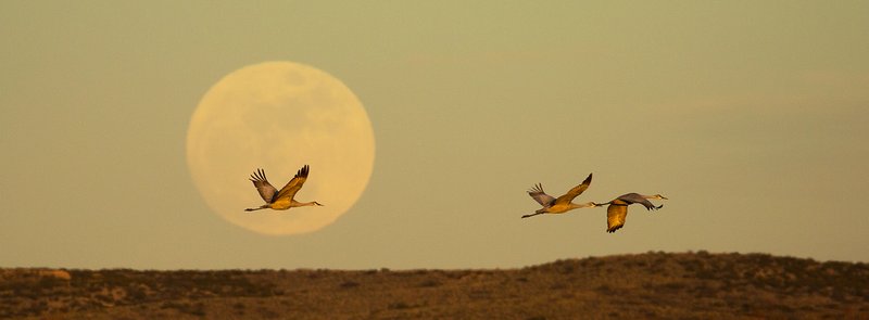
I am not a loner, but I enjoy being alone or with good friends in nature and I never get lonely. I hike the same trail every other day when we are home in Tucson and it is different every time. I’ve seen Desert Tortoises, Gila Monsters, Tarantulas, Mule Deer, Rattlesnakes, Coyotes, Bobcats, Jack Rabbits, Red-tailed, Harris and Cooper Hawks, Peregrine Falcons and Great-horned Owls on my hikes. Every day is different and every day is the same.
I see hundreds of Saguaros on every hike and unless they are in bloom, or dying, they never change. A three-foot tall Saguaro is about 40 years old. Their arms typically begin to appear after the first 50 to 75 years in well-saturated areas, and after 100 years in more arid climates. They first flower after 35 years of growth.
One thing you realize quickly when you live in the Southwest is that there is rarely a paved road to where you want to go, but that there are ways to get almost anywhere. The Shafer Trail, Hole-in-the-Rock Road, Behind the Rocks Road, Toroweap Overlook Road, House Rock Road, The Burr Trail and hundreds of others are all unpaved and often ungraded gateways to paradise. When Kodiak died, we didn’t get another dog. Not only because he was irreplaceable, but because this is not dog country. It’s too hot in the summer and our “yard” is a wasteland of cacti and rocks. Instead, we adopted Rubi, a Jeep. She loves rocks, deep sand and unpaved roads and goes with us everywhere. What she lacks in personality, she makes up for in functionality.
We did a lot in five years and thanks to our friends in NABS (The Natural Arch and Bridge Society) we’ve also learned a lot. We’ve hiked hundreds of miles, become comfortable driving just about anywhere, acquired numerous GPS devices and visited much of the Colorado Plateau. The Plateau is a loosely defined area encompassing more than 150,000 miles branching out in all directions from the four corners region of Arizona, New Mexico, Utah and Colorado.
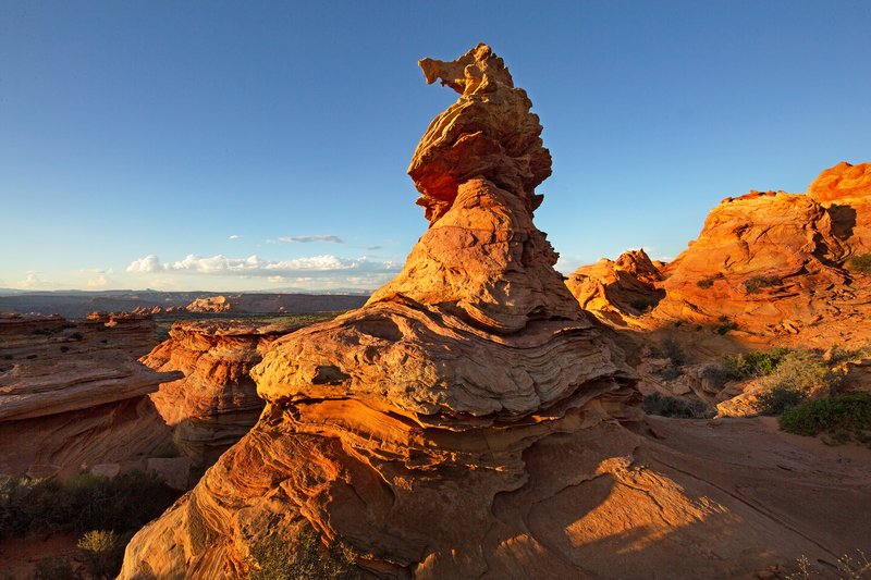
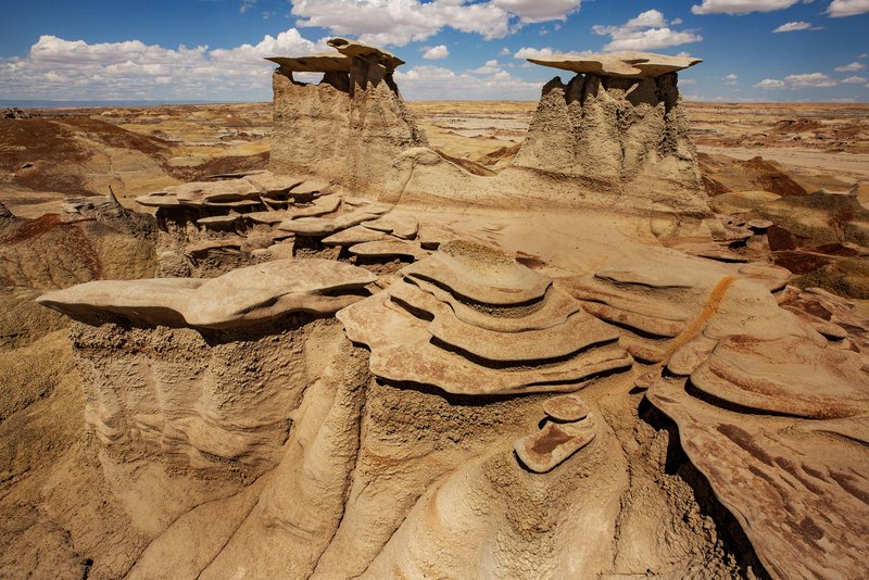
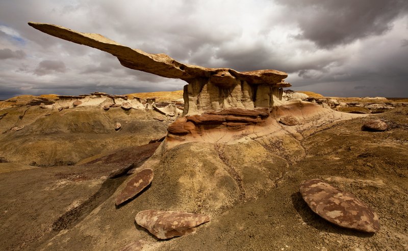
The Colorado Plateau was named by John Wesley Powell. It comprises a series of mesas located within an immense basin surrounded by highlands. It is primarily sedimentary rocks formed tens to hundreds of millions of years ago. Sandstones, shales and limestones are common, as are fantastic rock formations molded by wind and water.
It includes the greatest concentration of national park units outside of the Washington, D.C. metropolitan area, including eight national parks (Grand Canyon, Zion, Bryce Canyon, Capitol Reef, Canyonlands, Arches, Mesa Verde and Petrified Forest), 18 other protected areas managed by the National Park Service and, most importantly, many hidden treasures which account for most of the photographs in this collection.
