Mojave Musings
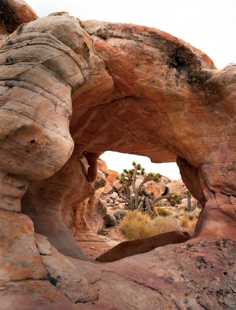
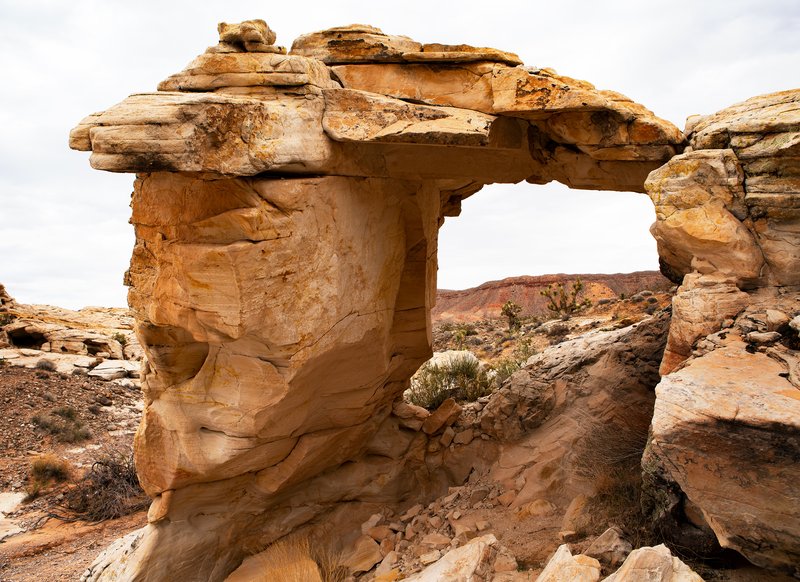
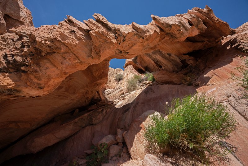
Calvin’s Rock Arch (11S-751938-4044176, 4'x4') Falling Man Trail, Gold Butte National Monument, NV
Gold Butte National Monument covers nearly 300,000 acres of remote desert landscape in southeastern Nevada. The Gold Butte gold rush began in 1906, bringing more than 2,000 miners to the area. Most miners passed by Whitney Pocket on their way to try and strike it rich. The gold rush was short lived, ending in 1909.
George “Luke” Whitney came to the Gold Butte area in 1910. He and his family purchased and developed the Aravada Ranch east of Whitney Pocket. The Whitneys spent summers at the ranch, and soon began hosting guests. The ranch became an oasis and is still open today as a camping destination. Whitney Pocket is named for Luke.
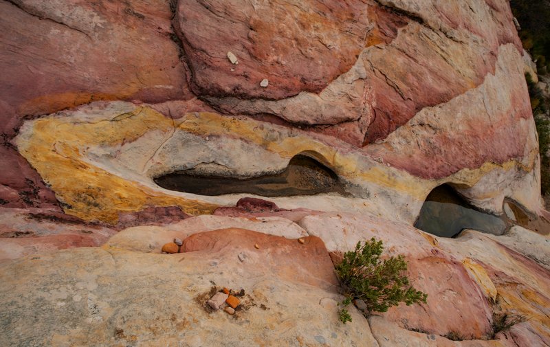
The CCC came to Whitney Pocket to establish a camp and build a cistern as well as other improvement projects in the Gold Butte area. It is their mark on the pocket that is most prominent today. The cistern they built is still in place, an immense block and concrete structure complete with stairs to climb up and down both sides. They also walled off several alcoves for storage, with some of the walls still in place.
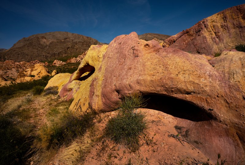
The view of Joshua Trees is better through this small arch than through the larger named Joshua Tree Arch, which is further up the trail. This arch is adjacent to Calvin’s Rock (named after Calvin Meyers, former Chairman of the Moapa Band of Paiutes and environmental activist), near the trailhead to the Falling Man petroglyph in Gold Butte National Monument off of Black Butte Road.
Mojave Musings
The Mojave Desert extends from the Base of the Sierra Nevada Range in the west to the Colorado Plateau in the east and covers all of the southern tip of Nevada. Aside from the nearly three million people who populate the Las Vegas metropolitan area, the next largest incorporated Nevada town within the Mojave, with a population of a little more than 20,000 people, is Mesquite.
Within Whitney Pocket, Little Finland, Buffington Pockets, Bowl of Fire, Valley of Fire, Hidden Valley, Pinto Valley and Color Rock Quarry is a land of treasure and awe. Most are within either the Lake Mead National Recreation Area or Gold Butte National Monument and only Valley of Fire State Park is accessible via good paved roads.
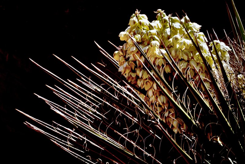
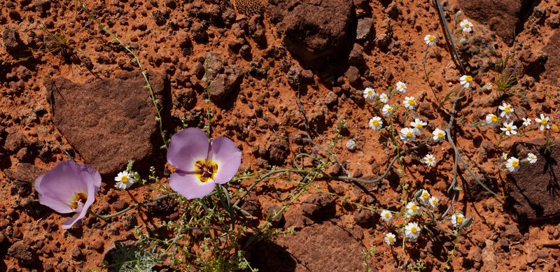
Of the Sonoran, Chihuahuan, Great Basin and Mojave Deserts, that together form the North American Desert, the Mojave is the smallest and driest. The colorful and fragile formations, numerous natural arches and wildflower and cactus blooms belie the common perceptions of such a place. Although I first visited the area decades ago, I only began to explore it within the past few years after moving to the adjacent Sonoran Desert.
I enjoy it as a photographer because it is an endless puzzle. There is beauty everywhere you look, but seeing and photographing are different things entirely. The harsh desert light, the complexity of land forms and the endless contrails that crisscross the sky are all obstacles that frustrate even those who have learned to see the beauty in these harsh environs. The moon may be a harsh mistress, but it is the sun and sky that you must master.
These images are just a beginning. I’ll hopefully improve upon them each time I return.